

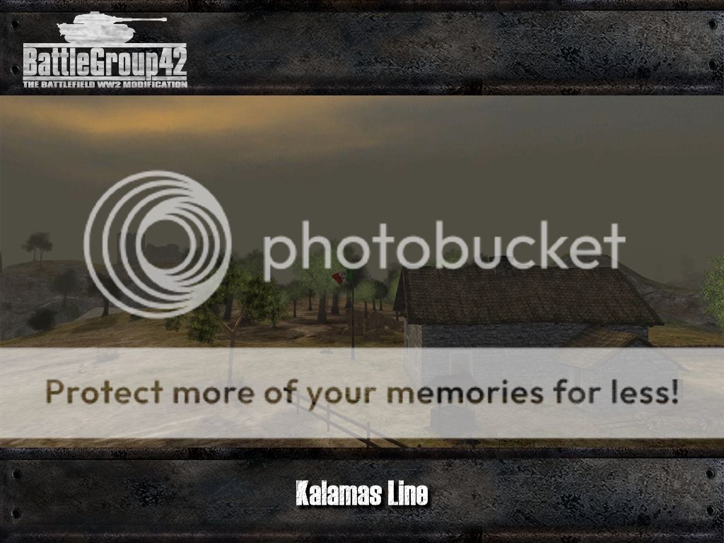
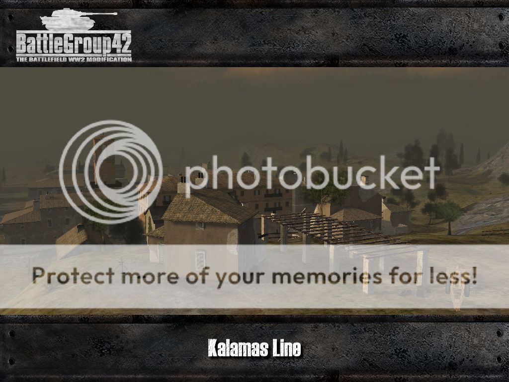
Our first map for today is another creation from our mapper Yamamoto: At the "Kalamas Line" Greek and Italian forces are fighting each other, but currently having no Greek forces we have had to use the British as a placeholder instead. This scenario resembles the Italian invasion in Greece: In November of 1940 the Greek army managed to hold off the far superior Italians after they had advanced into the northern mountains of Greece for only a few miles. The bad and cold weather favoured the Greek since the Italians, expecting a fast victory, weren't properly equipped for the winter weather. Along the Kalamas Line the Greeks started their counter offensive and managed to drive the Italians back onto Albanian soil.
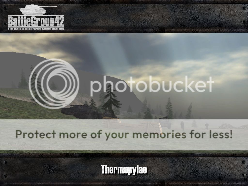
After the debacle of its Italian ally in Greece, the German Wehrmacht were forced to help the Italians in securing the "soft" flank in the Balkans from the Allied Forces. Starting from Yugoslavia, strong Wehrmacht units advanced against the Greeks who didn't have a chance this time around. The supporting Allied forces in the country were outnumbered and were only able to delay the German advance long enough to allow evacuation. One of these battles took place at the famous Thermopylae pass: the New Zealand and Australian troops stationed there were able to inflict heavy casualties on the attacking Germans until they withdrew as planned. The scenario was created by Sarge Surfat based on zara5ustras' map "Giogo Pass".

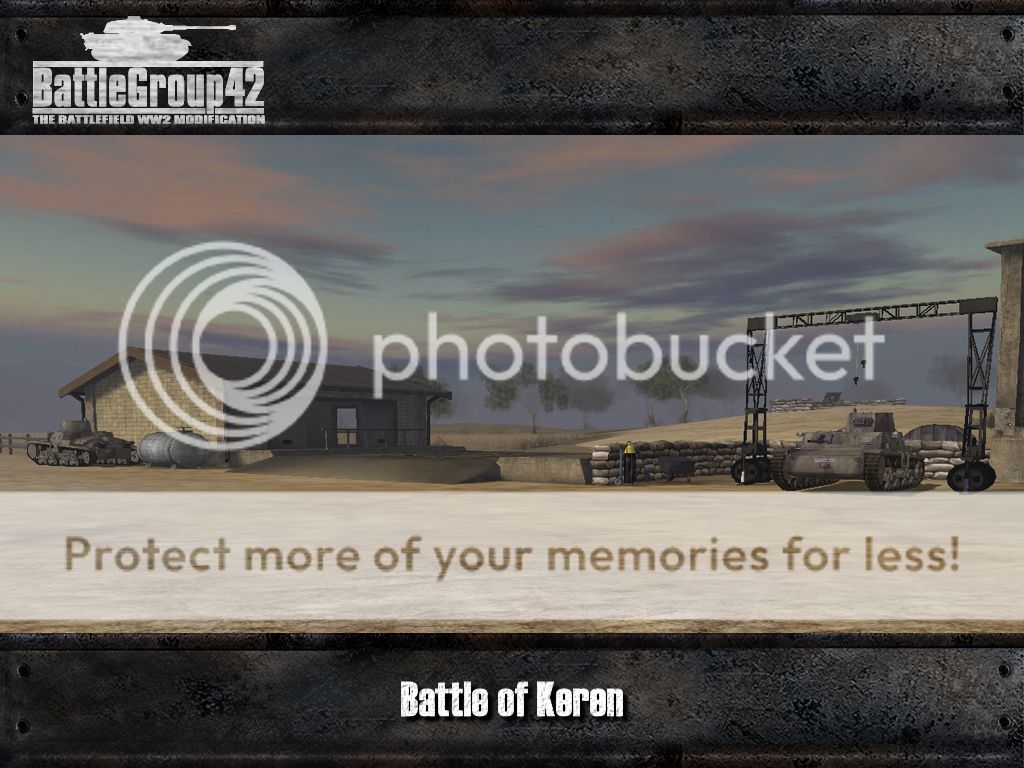
Sarge Surfat is also responsible for the next scenario which this time is occurring in Eastern Africa. In early 1941 British forces, supported by Indian units, advanced against the Italian occupying forces in Ethiopia. The goal of this attack was to capture the strategically important city of Keren and the also important harbour of Massawa. The Italians - being fortification experts - were dug in on the heights on both sides of the Dongolaas Gorge and had blocked the valley, through which a train line and the road to Keren ran, through the use of several explosions. They put up resistance against the attackers for at least three months until they finally had to withdraw to rearward positions.
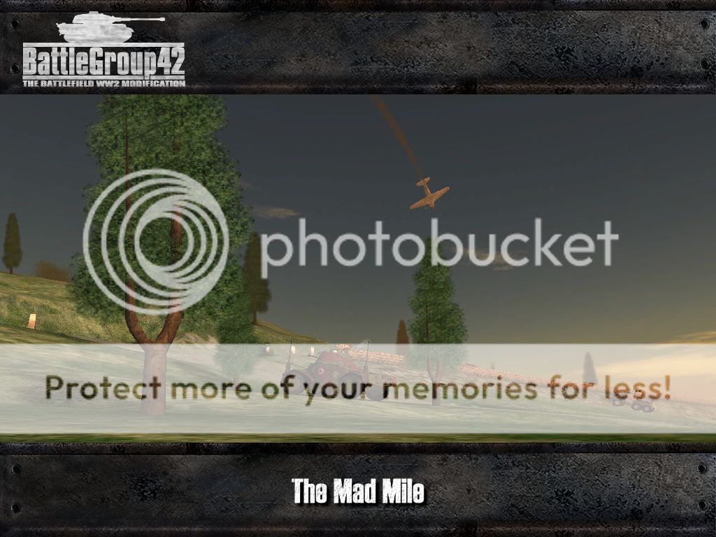
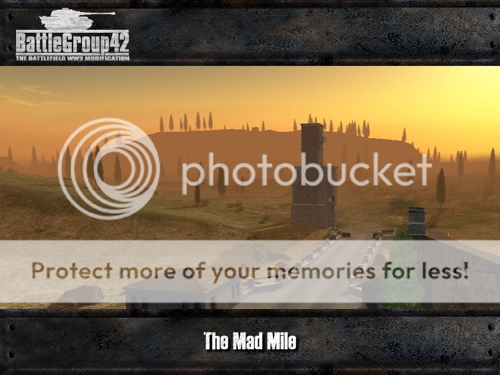
The next map we want to present here shines some light on a much less well known episode of WWII. In summer of 1941 the Allies advanced against the French forces in the Vichy controlled territories of Syria and the Lebanon. The goal was the capture of the capitals of the two countries, Damascus and Beirut. The latter task was given to the Australians who in June marched from Palestine into the Lebanon in divisional strength. One of the battles of this campaign happened at the town of Jezzine:
Here the French were deeply entrenched with artillery and tanks. The name of the map made by Sarge Surfat - The Mad Mile - refers to the section of the road to Beirut which was named so by the Allied soldiers because it was under precise fire of French artillery.
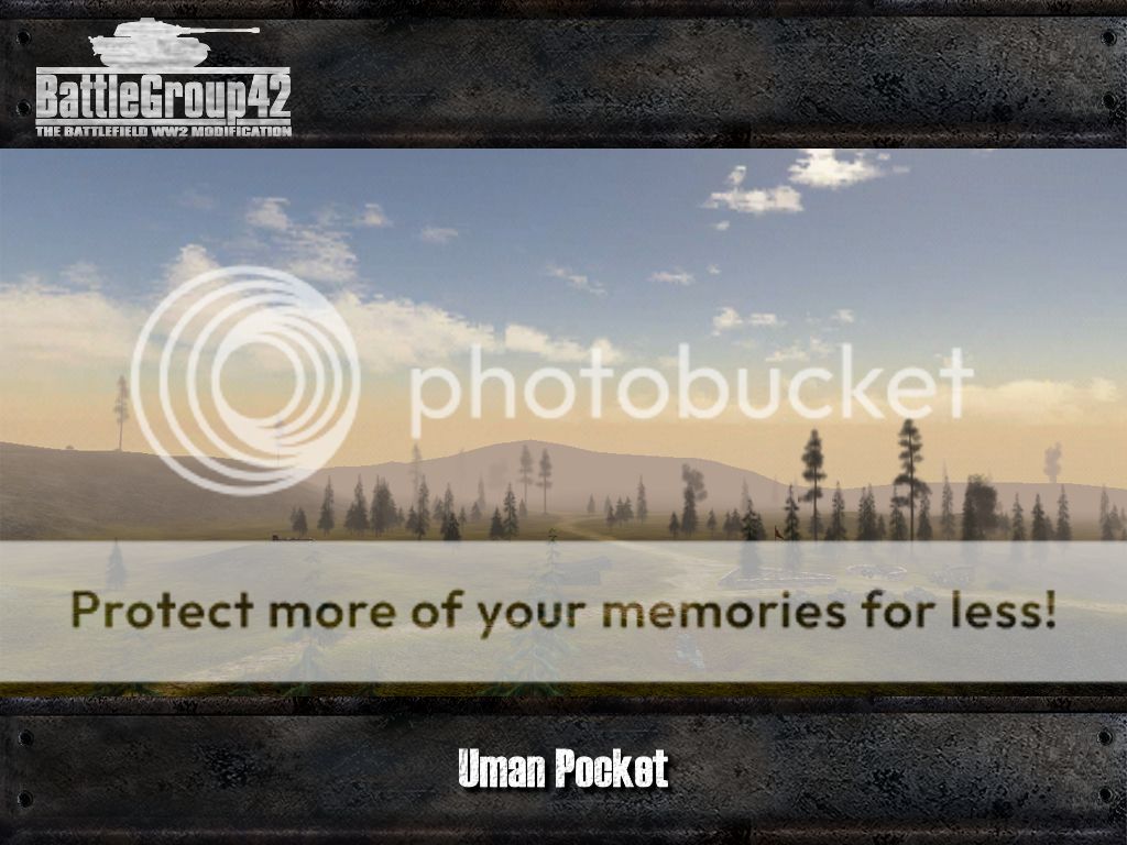
Meanwhile Germany and its Allies had attacked the Soviet Union in June 1941, so we're switching to the Eastern Front with our next scenario, focussing on the Hungarian role in the war on the Eastern Front. In the vicinity of the Ukrainian city of Uman, Hungarian tank units were one part of a pincer movement which was intended to encircle the Soviet 12th Army. The operation was quite a successful due to the massive air support but failed to completely annihilate the encircled Soviet forces because the Wehrmacht wasn't able to completely surround them. On this map you'll find the new Hungarian vehicles which we have received from the Hungarian Front mod, among them the tanks of the Toldi series and the Csaba armoured car.
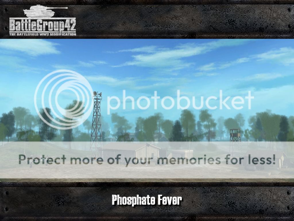
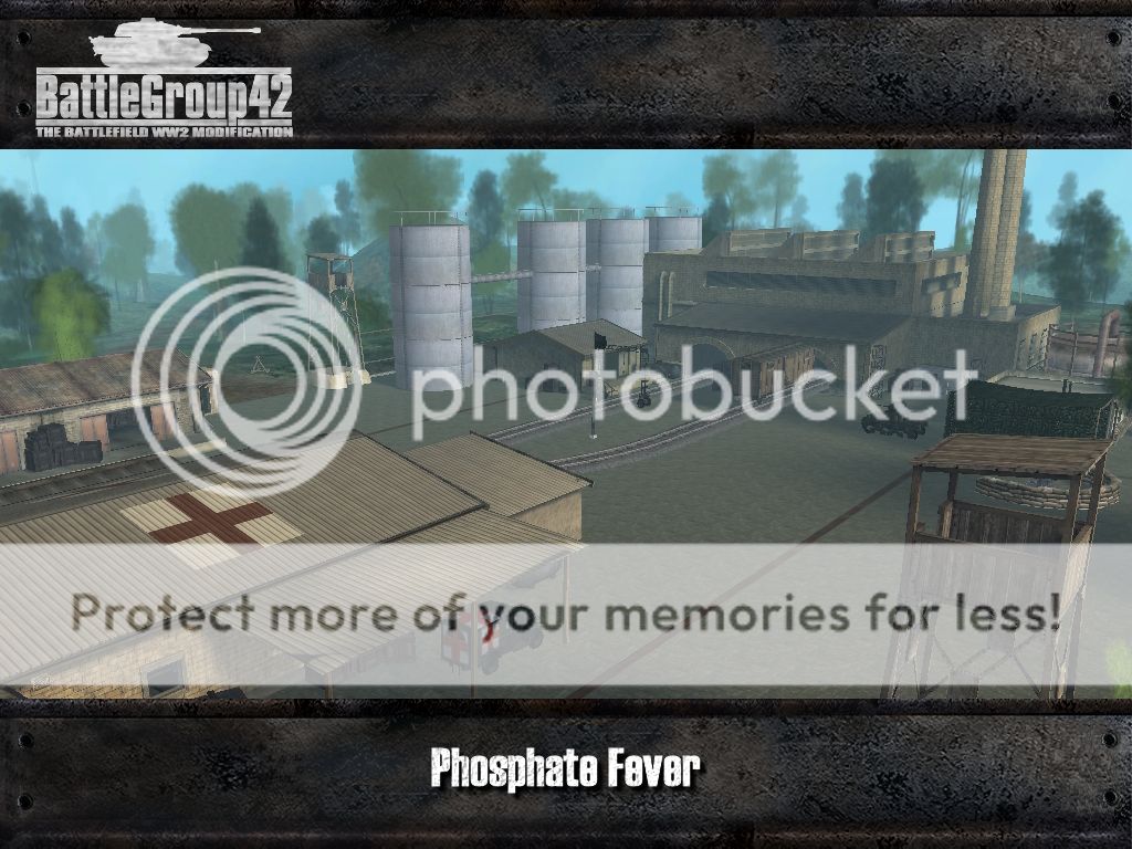
The last new map for today's news update takes us to the Pacific Theatre of Operations, to be more precise the island of Nauru. Back in 1900, large phosphate deposits had been discovered on that island which were then mined in large quantities by the Australians after WWI. The Japanese, being in urgent need of resources for their war industry, therefore placed their eyes onto this mineral rich island and attacked in August of 1942. The Australian garrison on Nauru, badly outnumbered and without heavy weapons, could only put up light resistance against the invasion and surrendered shortly afterwards. This map was created by Yamamoto.
That's it for today's news. In the next news we'll be presenting to you even more new maps, this time focussing more on the middle phases of the war. So stay tuned to find out which scenarios our mappers dug out this time and visit www.battlegroup42.de regularly. We are always looking for talented people to join our ranks and new members are always made welcome!


This is really cool, how many are SP?
All of the shown maps except Phosphate Fever have COOP.
Hell yea!
This comment is currently awaiting admin approval, join now to view.