GEM 2 Editor Fan club
Hobbies & Interests
This Group was created for people who love to create maps and missions on the GEM 2 Engine.

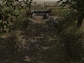
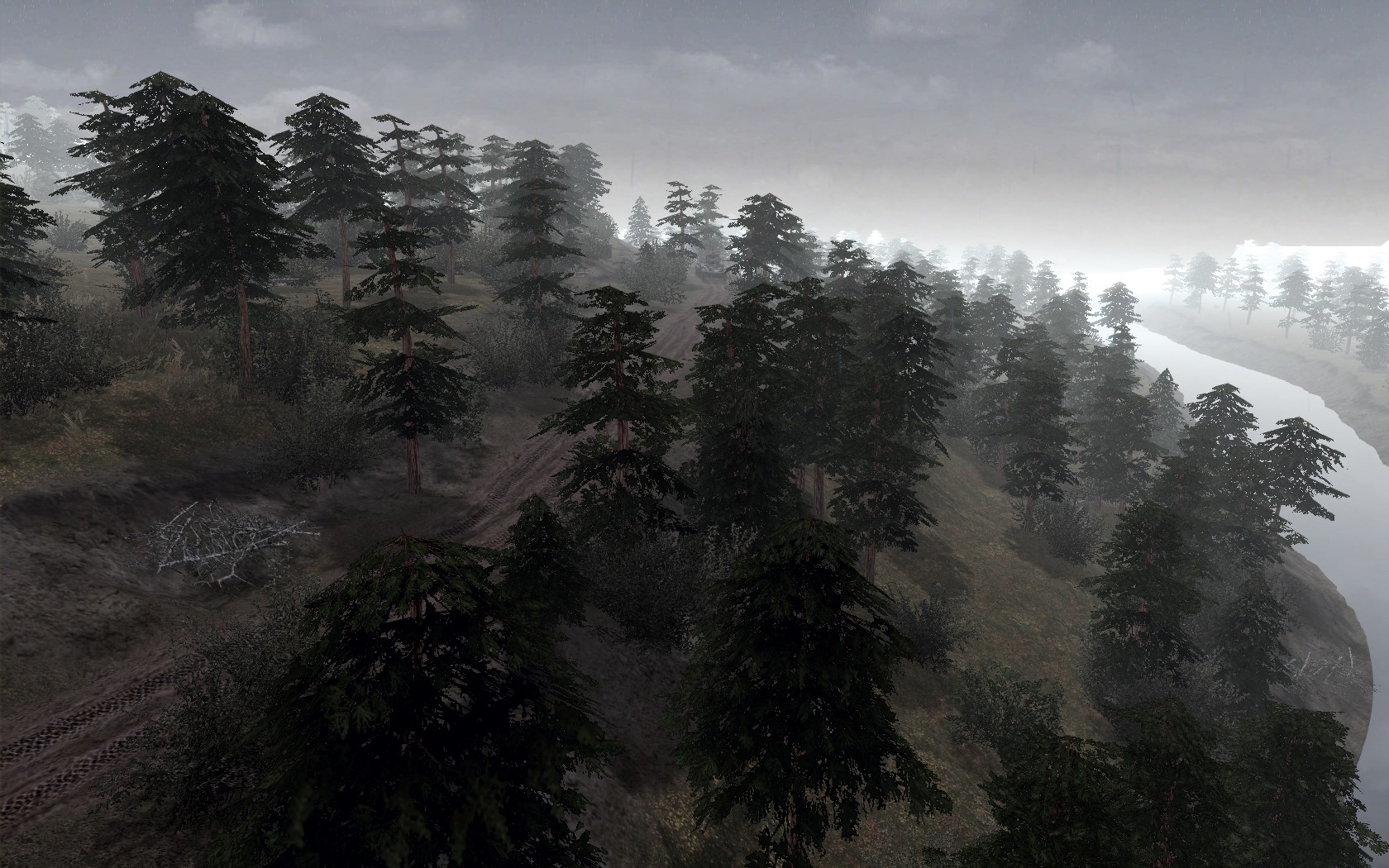
Anyone ever hear of the Kall Trail?
Im attempting to recreate that Valley, with a little imagination such as other small trails and fortifications for variety. This is all WIP but there's only so much you can do with a forest map with muddy roads. If you guys have any advice that would be great!
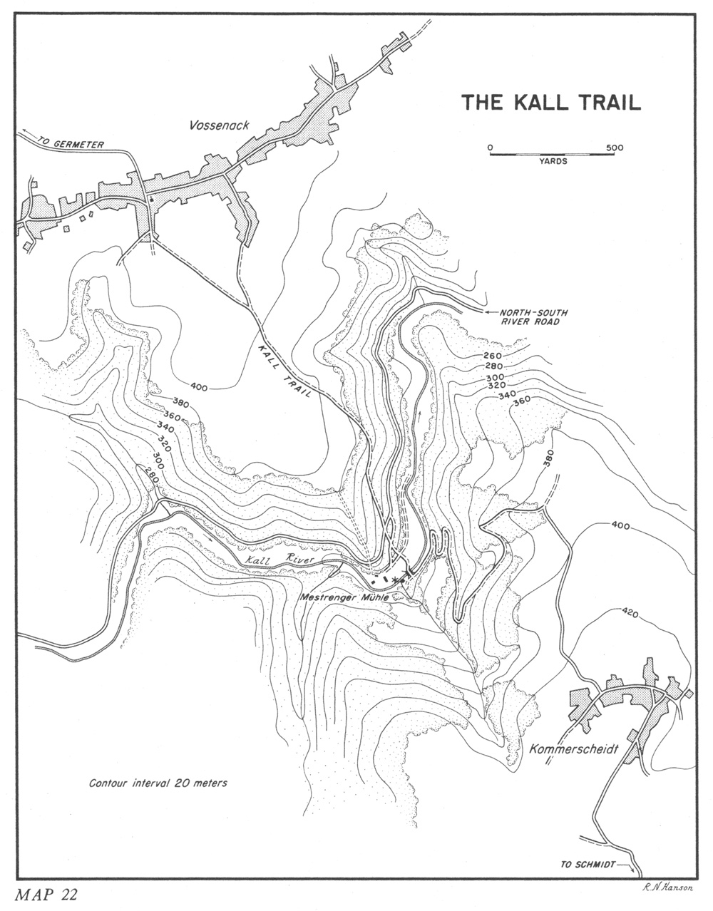
The Kall Trail stretches from the town of Vossenack to Schmidt and was used by the US Army during the Battles in the Hurtgen Forest as the MSR for all US forces in the area.
The Kall river valley was surrounded by fighting throughout the battle.
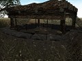
The Aid Station was an aidstation set up by the US 28th Infantry and when they were forced to leave it the Germans allowed it to stay in operation as long as their troops could stay there as well. Using what information I could find on it I attempted to create it.
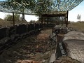
The Rock Outcrop cause quite a deal of pain for US Tankers, as the trail was steep, many tanks slipped tracks and were not able to fix it, and going around a tank knocked out next to the outcrop proved to be challenging.
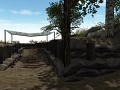
Most all clearings in in the Hurtgen campaign were already zeroed by the Germans so any American artillery was either non-existent or quickly expunged.
The Battle is largely skipped over by history as the Arddennes Offensive kicked off right after the Hurtgen Campaign ended. During the Battle the US 28th Infantry Division received the Nickname "blood buckets" due to their symbol and the amount of men that were killed, but kept being reinforced.
Map of the Kall Trail: Ibiblio.org
Map is 1.3KM by 1.3KM and is roughly the same size as the equivalent IRL size
bigass map eh?
Great work, really nice.
Sturmfuhrer
Thanks everyone! If I ever finish this map, Ill release it, although some of the areas would likely work better with longer ranges, and I may wait to release it with some other maps. I do hope to finish this one though, and I have more drive than many of the others to finish it as well. Its about 44% complete as it is but a lot of tedious terrain work on the other side of the river is left, but once that is completed it should be finished rather fast.
You should add bushes to the forest but put the big ones into the ground so theyre at foot or leg level of an infantry man, then put it all over the forest to make it looks like overgrowth or foresty grass or small bushes :). Other than that, it looks awesome!