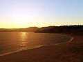
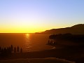
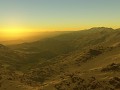
Planetary engine that can be used with real elevation data of arbitrary resolution, while being progressively enhanced by fractal algorithms. The fractal algorithms refine and introduce details down to centimeter resolution and can be parametrized by elevation and land class data. A completely random fractal terrain is possible too, or a terrain can be sketched in rough resolution with fractal generating the details. Level of detail ranges from thousands of kilometers down to centimeters, with full visibility. The engine is fully asynchronous, majority of the algorithms running on the GPU while the rest is distributed to multiple CPU cores.


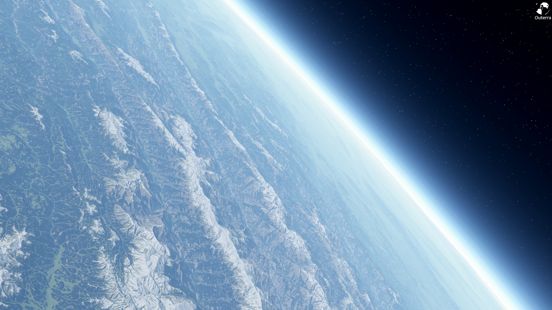
From Space
(view original)

Post a comment
Yes, this is a good size, make them huge!
I want to be able to use them as my desktop wallpaper if they're hot like this one.
I really liked this screenshot, so I took it into photoshop and made it work better as a wallpaper for dual monitors.
I thought someone else might like it too, so here it is.
Localhostr.com
WOW.
Nice
already my background :)
If this picture would be posted anywhere else, I would say it's a real photography taken from a satellite.
Sexy!
Would look awesome with clouds.