This is a first small update, which will show the baby-steps that have been taken in development. I cannot devote that much spare time to the mod at present (term time), but I am making stabs here and there. Much of the progress has been down to the knowledgeable members of the Mount & Blade Modding discord server, who have kindly answered my incredibly basic queries.
Map Progress
My first stab at the map for Iron Arm can be seen in the screenshots posted to the mod page, and the downloadable map test. If I was being charitable, it can be described as 'workmanlike' - it is a Frankenstein's monster created between Thorgrim's editor, Swyter's Cartographer and Blender. In Blender, it ended up looking like this: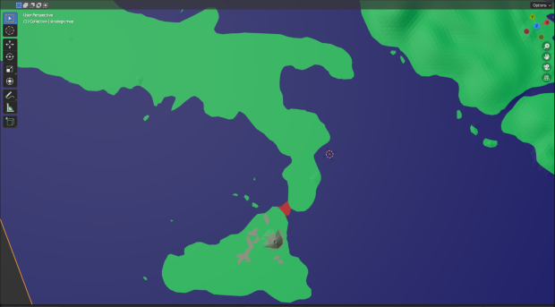
It is not awful for a first attempt, but it is quite far from accurate, and largely featureless. As my knowledge of Blender stood, I would need to sculpt the elevations entirely from scratch in Thorgrim's. This would be a slow, buggy and inaccurate progress. With an advance in my (still extremely limited skills), I have been able to produce an updated version, made entirely in Blender: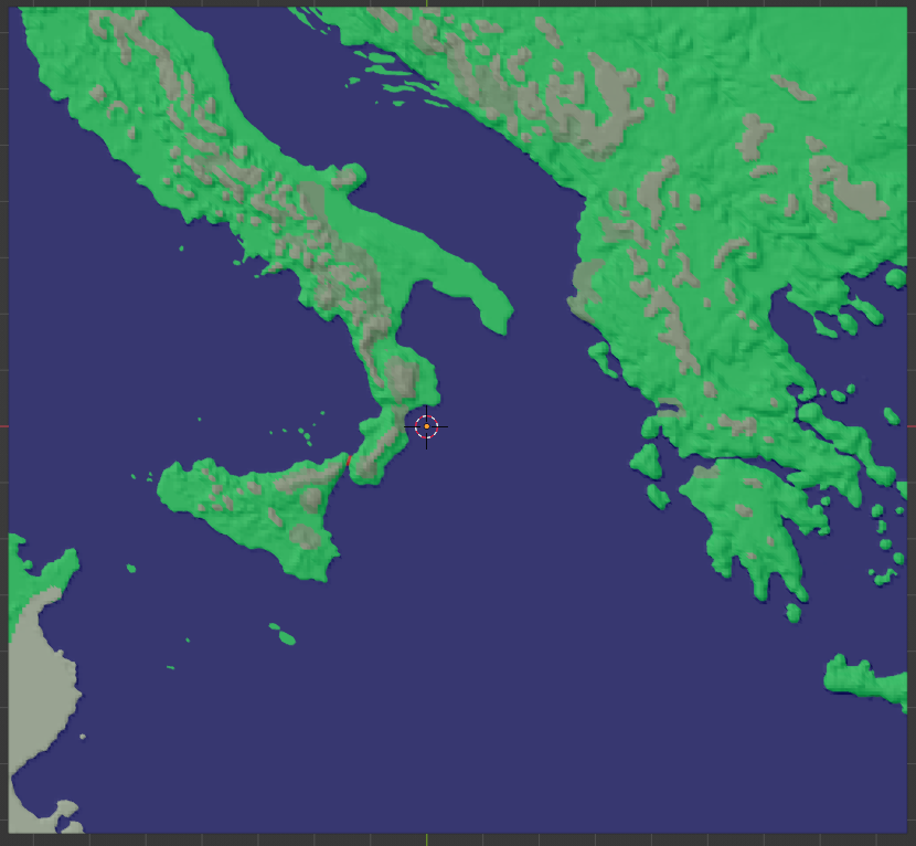
This has an extremely accurate coastline, and topographic data incorporated via the Displacement modifier using a heightmap applied to a plane. The highest spots have (at present) been rendered as impassable mountain tiles. The olive green is forest, applied according to the data in Kaplan, J.O. et al. "The prehistoric and preindustrial deforestation of Europe", Quaternary Science Reviews 28 (2009) pp.3016-34, esp. p.3024.
When loaded into Thorgrim's, one can see how this looks using the Native tile textures: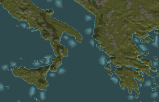
Native's tile textures are a little underwhelming - but besides this, for a map of southern Italy and the Balkans (unplayable, at least initially), many of the standard tiles (snow, steppe, steppe forests etc.) are redundant. These could be re-used to represent cultivated land/marsh/upland/foothills, giving the player a finer-grained view of the landscape and it's strategic possibilities.
In design philosophy, I am considering following the lead of the 1257AD mod's map when it comes to vertex placement and distribution (highlighted by Creatoxx at c.9:00 here M&BW Modding Tutorial on Steroids 4. Map shape and basic Blender functions - YouTube).
The Native map and my own (and those of most other mods I've checked - e.g. Brytenwalda, Viking Conquest, 457 AD) distribute verts evenly, like this: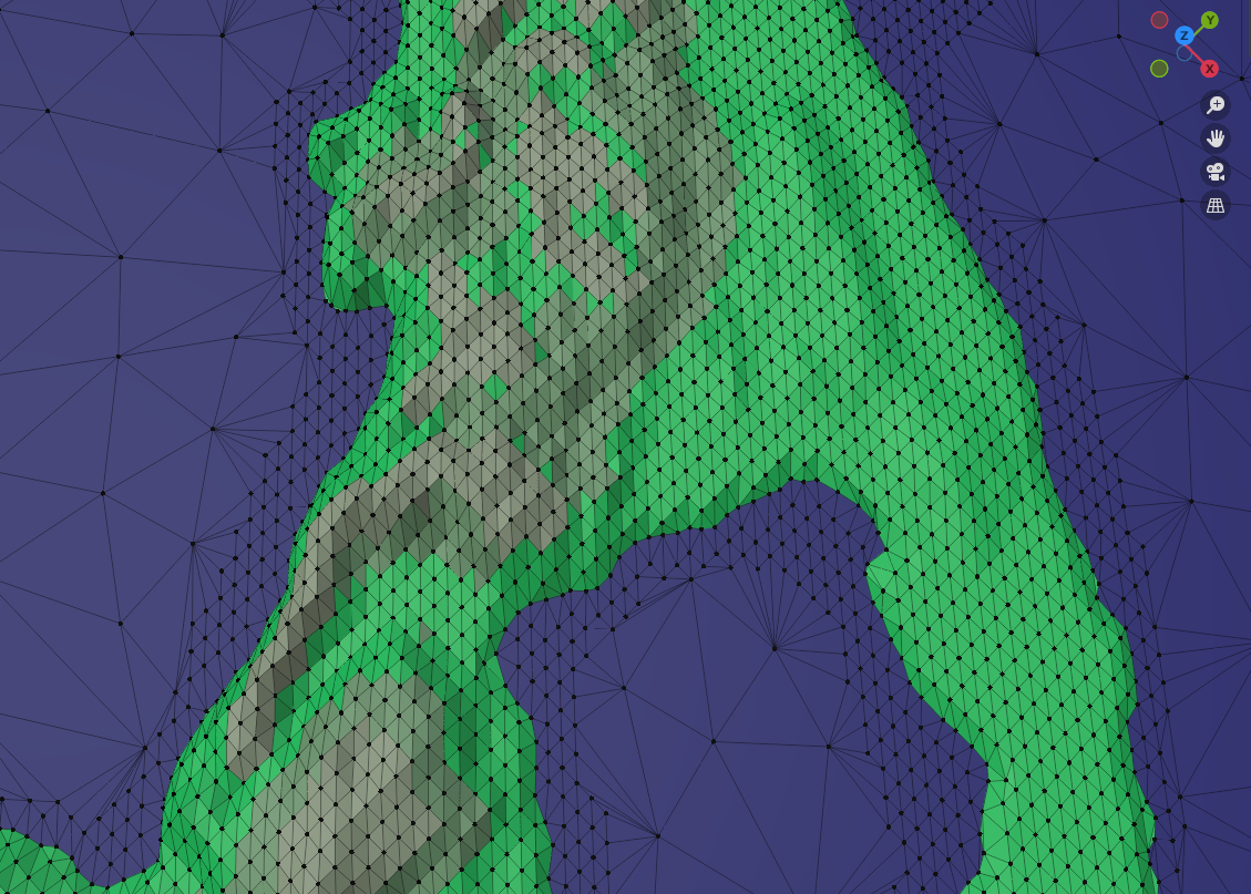
As you will see, the triangles are very evenly distributed. This allows for a very detailed map. AI parties in Warband only travel along the edges between two vertices. And this is why the AI will always move in straight lines.
1257AD did things differently - this could have been down to the greater restrictions on hardware when the mod was made, given the size of the map. But not only does it use closely distributed triangles much more sparingly (which will increase performance), some are also brought very close together to form routeways. These are invisible in the game, other than in the fact that the AI will travel along them more frequently, mimicking the location of roads/routeways vs. wild-country. This also produces more realistic movement at sea that tends to cling to coasts (457AD approaches sea travel differently, by manually inputting the sea-routes as 'fords' - seen in red).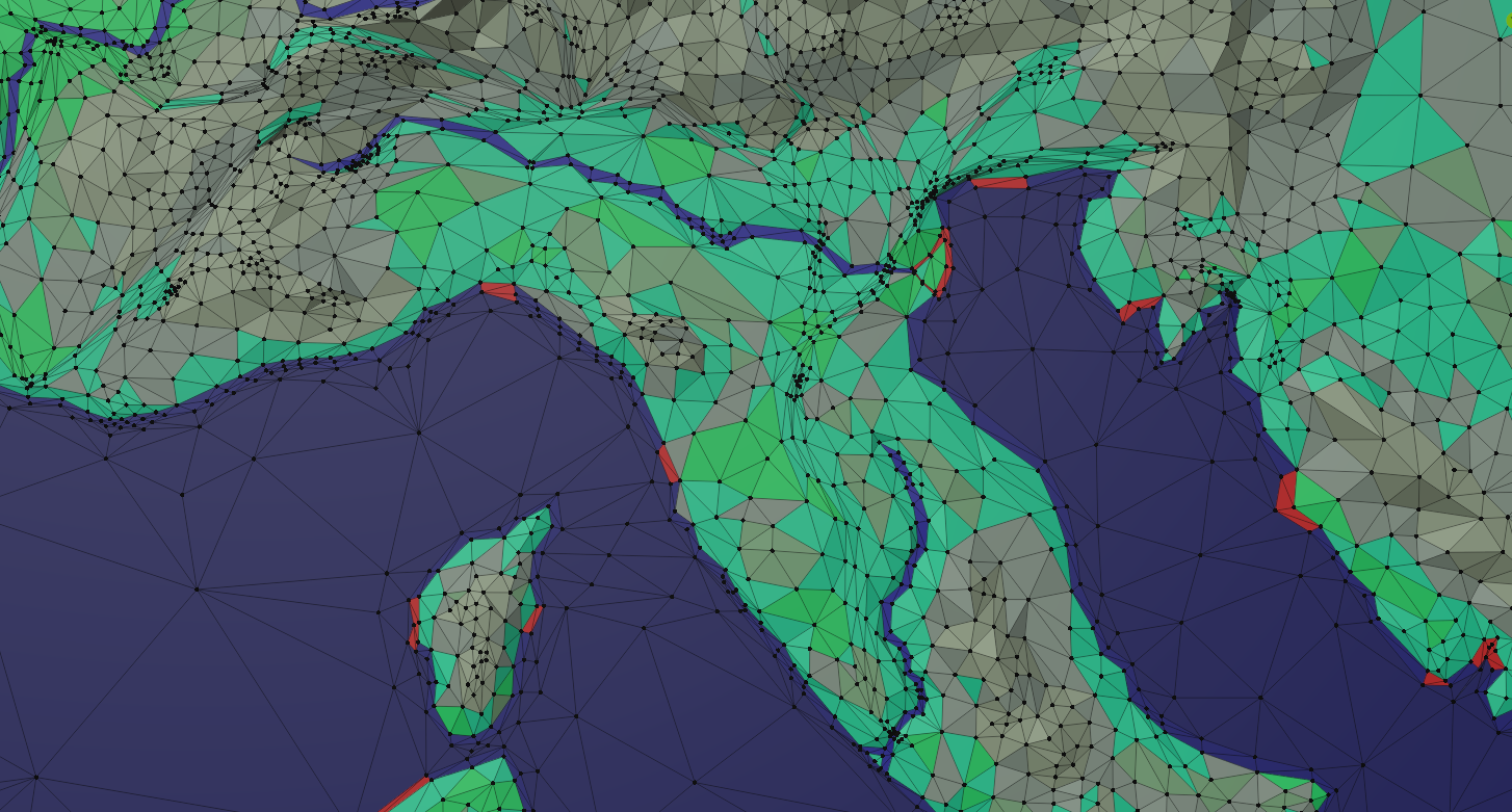
Whilst this constrains movement of both the player and AI, it is something I am considering following in order to similarly 'imply' the location of the chief routeways around southern Italy, and to show that movement 'cross country' was more difficult.
Settlements + Factions
The vast majority of settlements (at least on the mainland) to be included have been picked out from a variety of secondary scholarship, and the process of deciding which "belonged" to whom in early 1056 has largely been achieved. This process has also allowed me to determine (where known) which historical figures held which towns, "castles" (or castelli) and villages, as well as which settlements ought to be considered which type of holding (given the nature of the game, there is some arbitrariness, naturally). There are currently 175 location, and more will follow.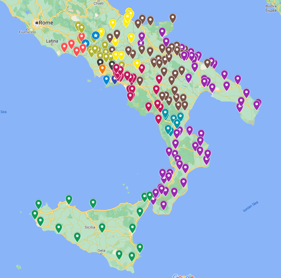
This has been a long write up of some, ultimately, quite meagre progress - but whilst progress will continue to creep during term time, things will move forward.

This map looks great! keep up the good work