Virtalis
Developer
Our systems and solutions offer the chance to really understand information and data, to interact with it and to foster communication between designers, manufacturers, trainers, marketeers and senior management.
Software
Updated
Released
| Added
| Popular Today
| Popular All Time
| Rating
| Category
| Name
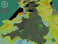
GeoVisionary
VRGeoVisionary was developed by Virtalis in collaboration with the British Geological Survey as specialist software for high-resolution visualisation of...