"Welcome back to the Colonial Fleet." Phoenix Interactive has received permission from NBC for the BSG: Fleet Commander Homeworld 2 mod. Message me if you're interested.

Post tutorial Report RSS Height Maps from Digital Elevation Models

Two tools, 3DEM and Terragen (both with various free versions), can be used to convert Digital Elevation Models to Height Maps that can be used as part of your map creation process or often in game.

Posted by on - Basic Mapping/Technical

Height Map

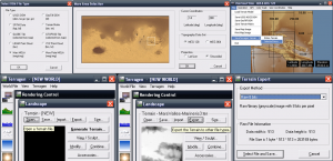
3DEM can open various DEM formats and save them as Terragen ter files. Terragen can (in addition to doing many other things) export ter files to image files for use as Height Maps. All that is required to convert a ter file to an image is to Open the ter file with Terragen and Export it, selecting the desired file format to save as.

Data to Height Map with 3DEM and Terragen.

When selecting the area of the DEM, I recommend selecting a larger area then what you are planning to put in game and make sure to include unique features that will make lining up the height map with other textures easier.

Height Map
Post a comment

Your comment will be anonymous unless you join the community. Or sign in with your social account: