I wanted to add some default procedural generation tools in the Leadwerks 3.1 terrain editor. The goal is to let the user input a few parameters to control the appearance of their terrain and auto-generate a landscape that looks good without requiring a lot of touch-up work.
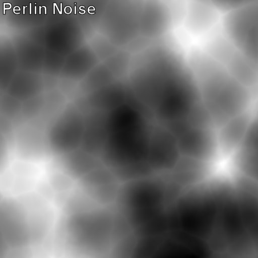
Programmers commonly rely on two methods for terrain heightmap generation, Perlin noise and fractal noise. Perlin noise produces a soft rolling appearance. The problem is that Perlin noise heightmaps look nothing like real-life terrain:
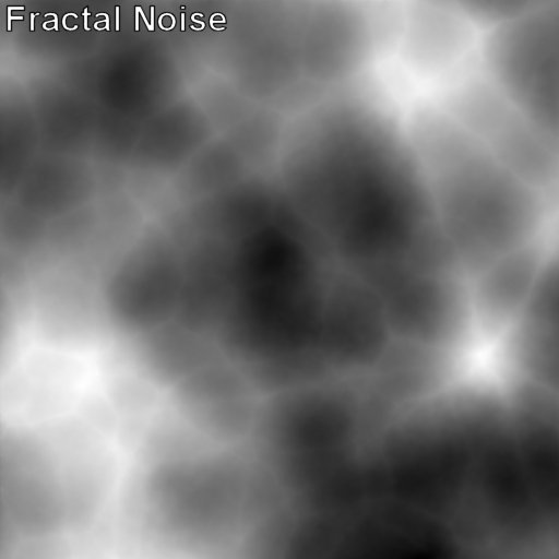
Fractal noise provides a better appearance, but it still looks "stylized" instead of realistic:
To get realistic procedural terrains, a more complex algorithm was needed. After a few days of experimentation, I found the optimal sequence of filters to combine to get realistic results.
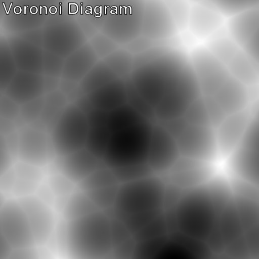
We start with a Voronoi diagram. The math here is tricky, but we end up with a grid of geometric primitives that meet at the edges. This gives is large rough features and ridge lines that look approximately like real mountains:

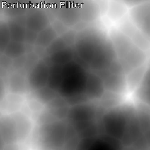
Of course, real mountains do not have perfectly straight edges. A perturbation filter is added to make the edges a little bit "wavy", like an underwater effect. It gets rid of the perfectly straight edges without losing the defining features of the height map:
The next step is to add some low-frequency Perlin noise. This gives the entire landscape some large hills that add variation to the height, instead of just having a field of perfectly shaped mountains. The mixture of this filter can be used to control how hilly or mountainous the terrain appears:
We next blend in some Fractal noise, to roughen the landscape up a bit and add some high frequency details:
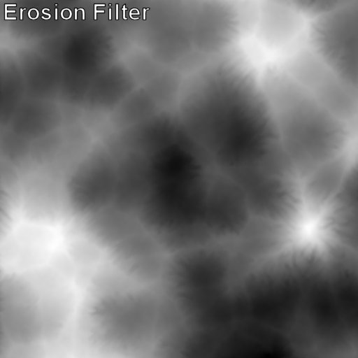
Finally, we use thermal and hydraulic erosion to add realistic weathering of our terrain. Thermal erosion works by reducing the harshness of steep cliffs, and letting material fall down and settle. Hydraulic erosion simulates thousands of raindrops falling on the landscape and carrying material away. This gives beautiful rivulets that appear as finger-life projections in the height map: Rather than relying on conventional hydraulic erosion algorithms, I created my own technique designed specifically to bring out the appearance of those features.
Here is an animation of the entire process:
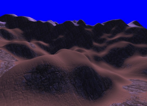
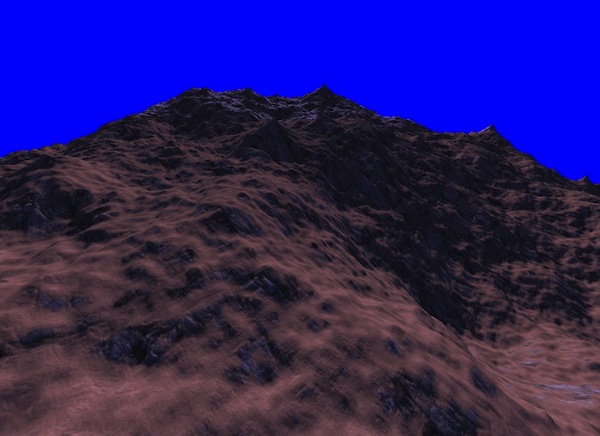
And in the renderer, the results look like the image below. All the parameters can be adjusted to vary the appearance, and then you can go in with the manual tools and sculpt the terrain as desired.
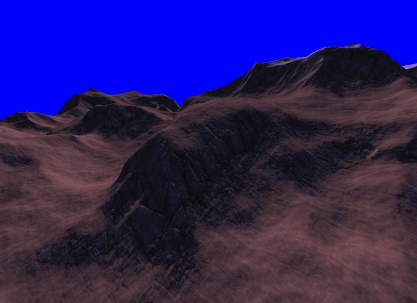
The new landscape has ridges, mountains, and realistic erosion. Compare this to the Perlin and fractal landscapes at the top of this article. It's also interesting that the right combination of roughness and sharp features gives a much better appearance to the texture blending algorithm.
