this is a sequel to the Gizmotron user-mod for Axis and Allies. featuring new types of weather & terrain. new, larger territory maps in skirmish mode. new experience ranks and bonuses (regiments improve up to 2000 exp points). 100+ special ops, new water-based units like cruisers and submarines (with torpedo attacks). nations included are Australia, Belgium, Bulgaria, Brazil, Canada, Communist China, Croatia, Czechoslovakia, Denmark, Finland, France, Germany, Great Britain, Greece, Hungary, India (Allied), Indian National Army (Axis), Iran, Iraq, Italy, Japan, Mongolia, Nationalist China, Netherlands, New Zealand, Philippines, Poland, Romania, Russia, Slovak Republic (Axis), South Africa, Spain, Sweden, Thailand, Turkey, the United States, Yugsolavia, and the Yugoslav Partisans more nations and territories available for WW2 mode, see images for details.
")
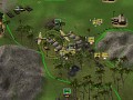
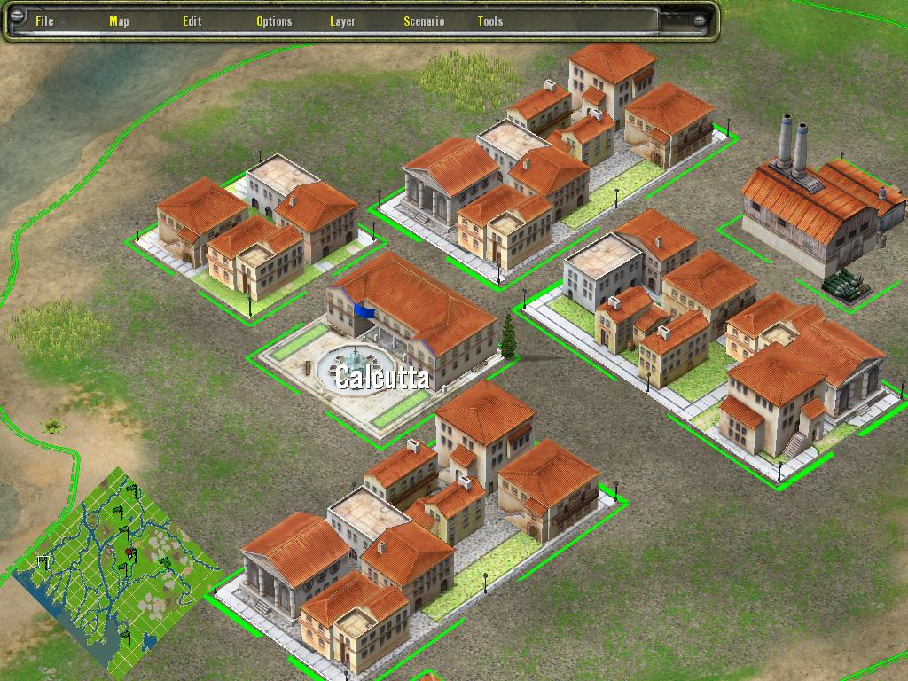
this map shows the approach to Calcutta with a new network of terrain-based obstacles. players will have to negotiate numerous rivers, swamps, muddy terrain, mountains, and dense jungle. this map will prove to be very difficult for players accustomed to using vehicles! the lines you see are my method of trying to design maps.
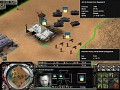
one of the hardest parts of designing a map in the editor is getting an overall feel for how the different parts mesh together. by creating new maps on graph paper first and then using a transposition grid on a blank map-- I'm able to make larger and more complex maps than I was able to do before.
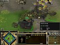
the real point of posting this picture was to show the little mini-map in the lower left hand corner. the size and scale of this new SP map has never really been done before. this is probably going to be a preliminary map to the Japanese invasion of India with the original game map.
this map was based on a combination of sources-- and while it certainly doesn't accurately reflect the terrain of India and Burma it's a fair approximation. this map is probably only 30% done right now.
Are those tann crosses in the mini-map roads?
no, the tan crosses are actually plotting grids. haven't actually got solid info on roads for this region yet. once I get all the basic terrain features set in place I will erase the grids with regular terrain.
this method can allow me to look at historical city maps and place all of the bridges, special buildings, rivers, and so on with greater accuracy. once I made a grid for each major biome the rest comes later by filling things in one block at a time.